
Explore
Wister, Oklahoma, on the edge of the Ouachita National Forest.
Explore the area
What's nearby
Getting around
Road miles from the ranch.
- Summerfield / Ben's Country Corner4.5 mi
- Wister16 mi
- Heavener15 mi
- Talihina22 mi
- Poteau25 mi
- Wilburton37 mi
- Mena, AR52 mi
Poteau and Mena have plenty of restaurants and a Walmart for groceries and supplies.
Trailering in? There's plenty of room at the ranch to unload, turn around and park horse, ATV and boat trailers.
Closest stop
Ben's Country Corner, 4.5 mi from the ranch in Summerfield, with non-ethanol fuel (great for boats and ATVs), food, beer and tobacco.
Miles are driving distance from the ranch.
Horse trails
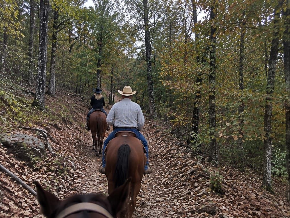
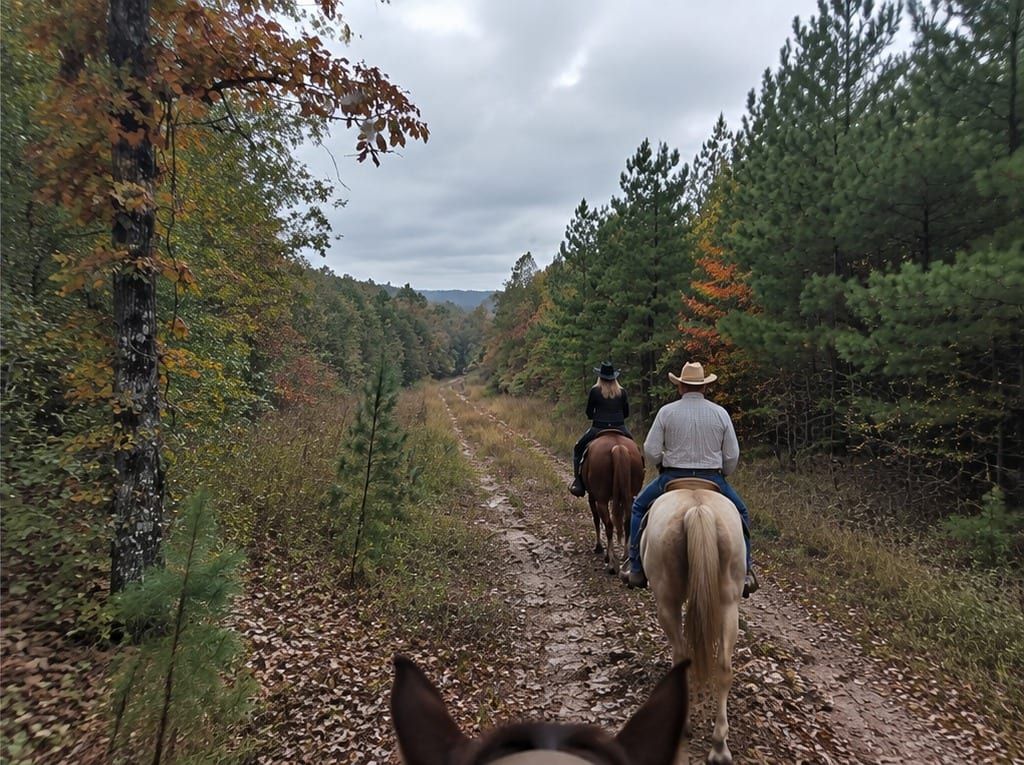
Cedar Lake, 17 mi from the ranch in the Ouachita National Forest, is the trailhead for the Winding Stair Mountain Equestrian Trails. The camp has horse corrals, and most equestrian sites have electric hookups. Horses need a current Coggins test and must stay in the equestrian loops. There is plenty of room at the ranch to unload, turn around, and park a horse trailer.
Trail maps
- Winding Stair equestrian trail map (2008 brochure)Forest Service brochure TR-03, revised September 2008. The Cedar Lake loop system. The current website says over 70 miles; this brochure says 77.
- Winding Stair Equestrian TrailsCurrent Forest Service trail page. Trails start at Cedar Lake Equestrian Camp. No fee and no water on the trails.
- Cedar Lake Recreation AreaCampground, the 86-acre lake, and the equestrian trailhead. 17 mi from the ranch.
- Cedar Lake reservationsRecreation.gov. Horse corrals, Coggins test required, and equestrian sites only in the equestrian loops.
- Horsethief Springs TrailAbout an 11-mile loop from Cedar Lake. The Ouachita National Recreation Trail part of the loop is closed to horses.
- Billy Creek TrailHorseback riding and hiking, 7½ miles, no fee, on the south side of Winding Stair Mountain.
- Oklahoma Motor Vehicle Use Map (2026)The current Ouachita National Forest MVUM for the Oklahoma district, including the Heavener and Talimena area.
- Oklahoma MVUM route table (March 2026)Seasonal and special vehicle designations that go with that map.
- All Ouachita visitor mapsIndex of district MVUMs, including Mena-Oden on the Arkansas side of the Talimena Drive.
Lakes & boat ramps
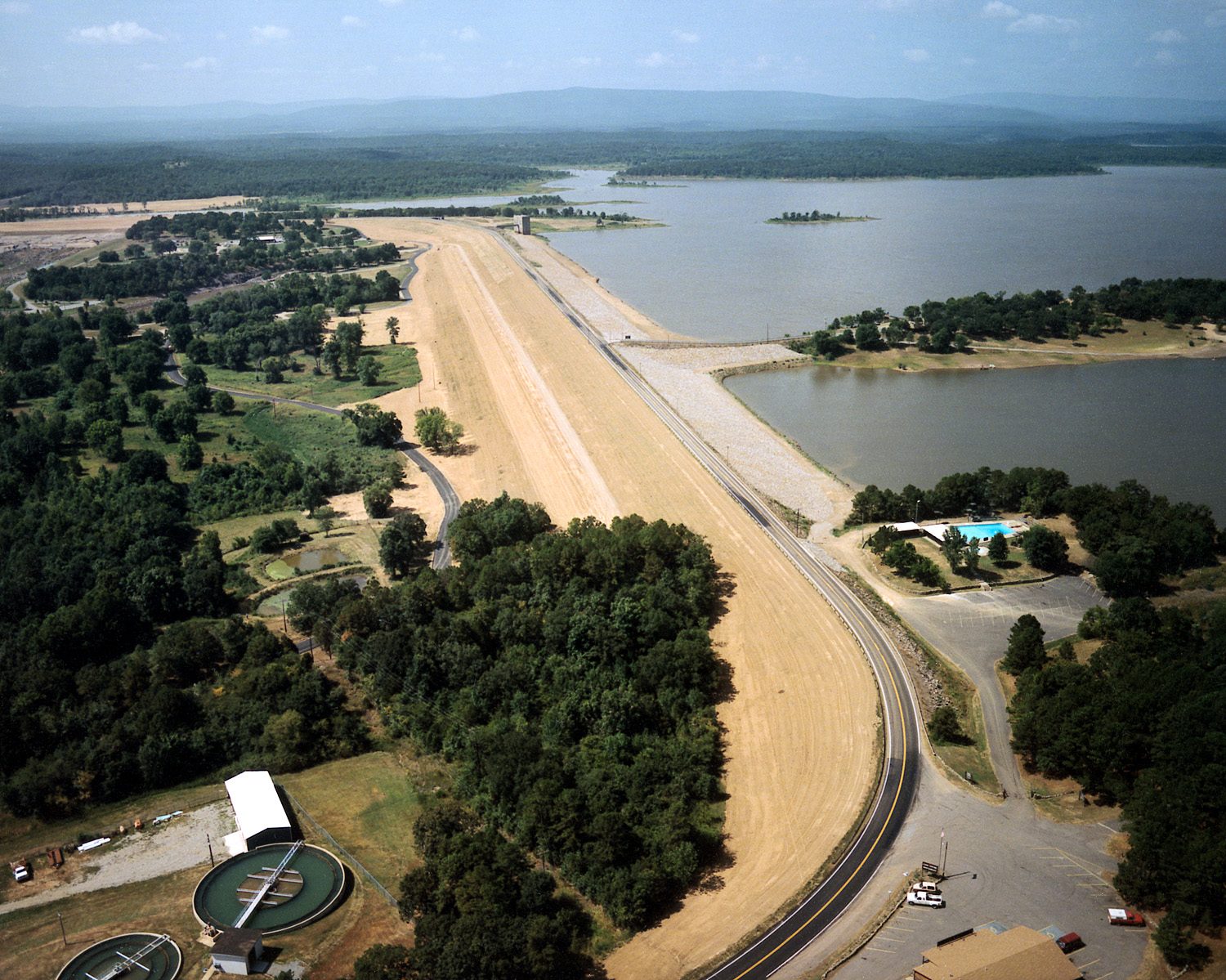
Conser Landing boat ramp (Poteau River / Wister Lake)
The closest public ramp to the ranch. It is right up the road at the end of Waits Lane, just north of the ranch, and puts you onto the Poteau River arm of Wister Lake.
4.7 mi from the ranch
Official site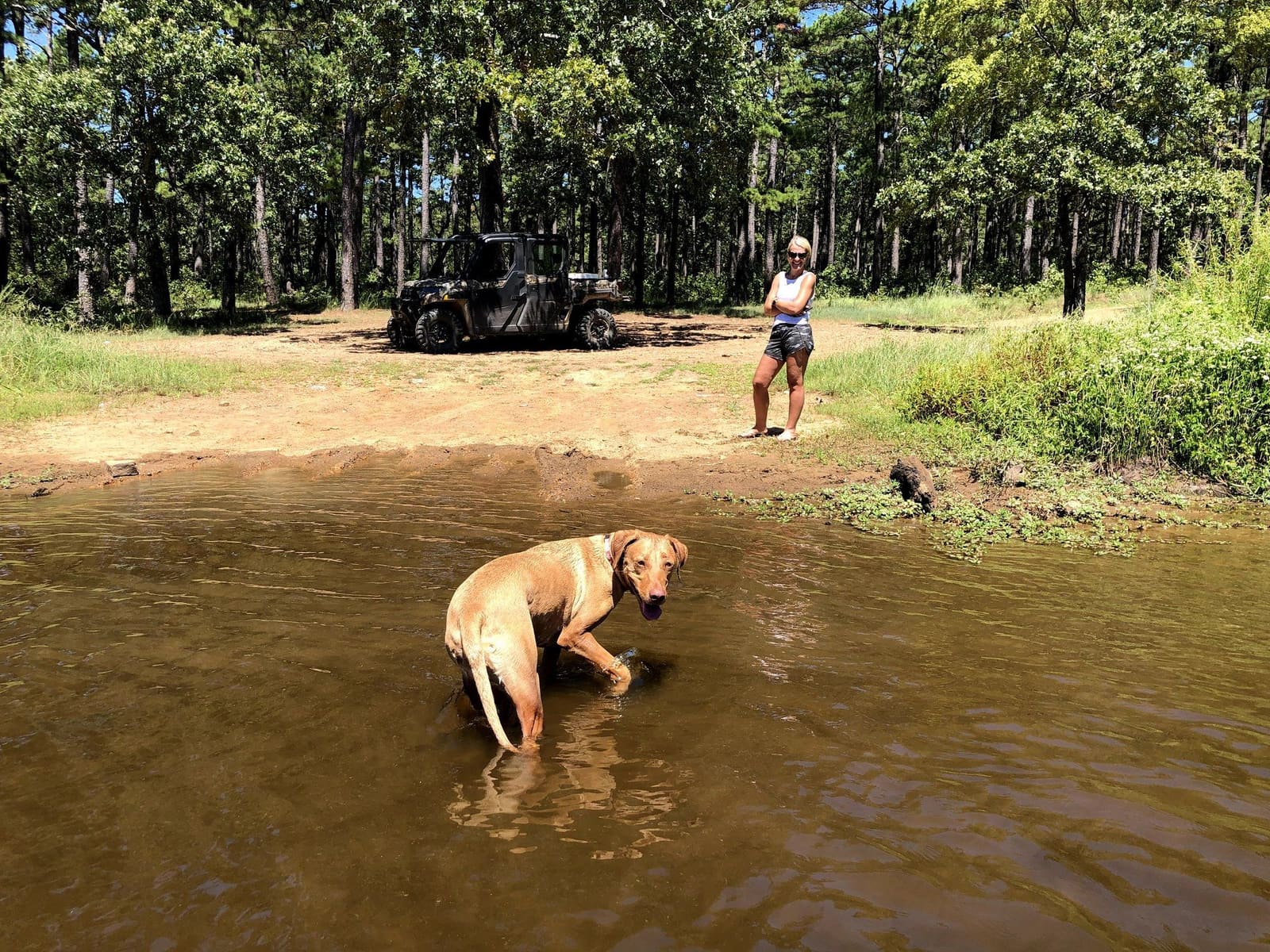
Post Mountain Lake
A lake in the Ouachita National Forest, and a fun ATV ride from the ranch. Pack a lunch and bring the dog, because dogs love it.
12 mi from the ranch
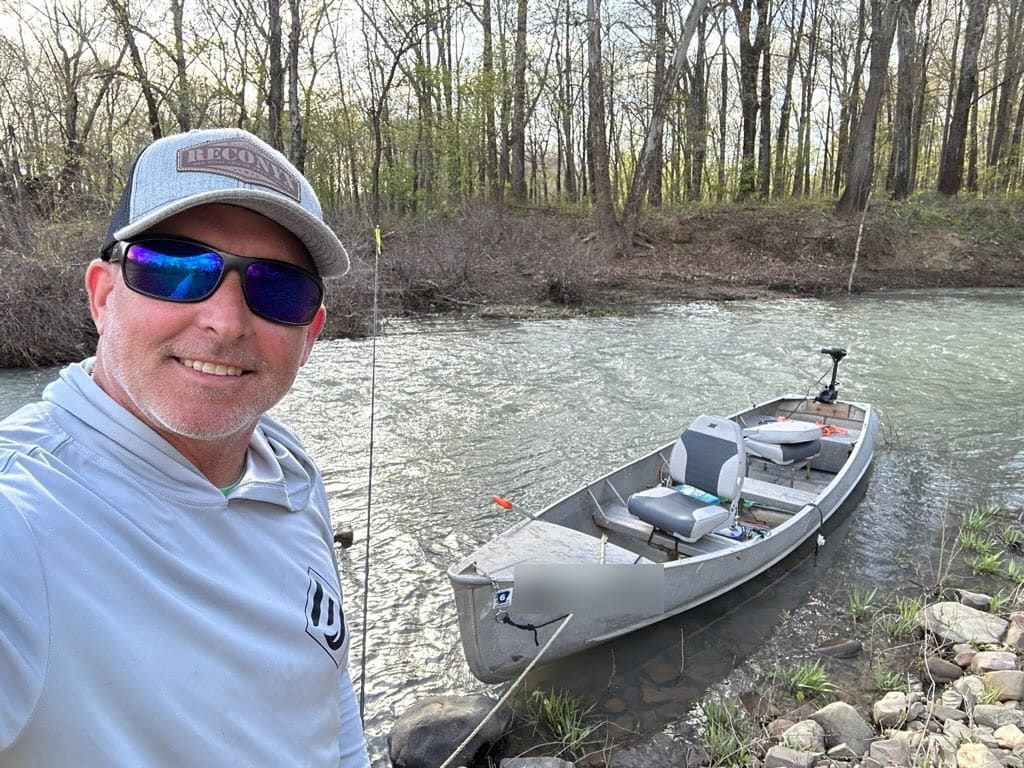
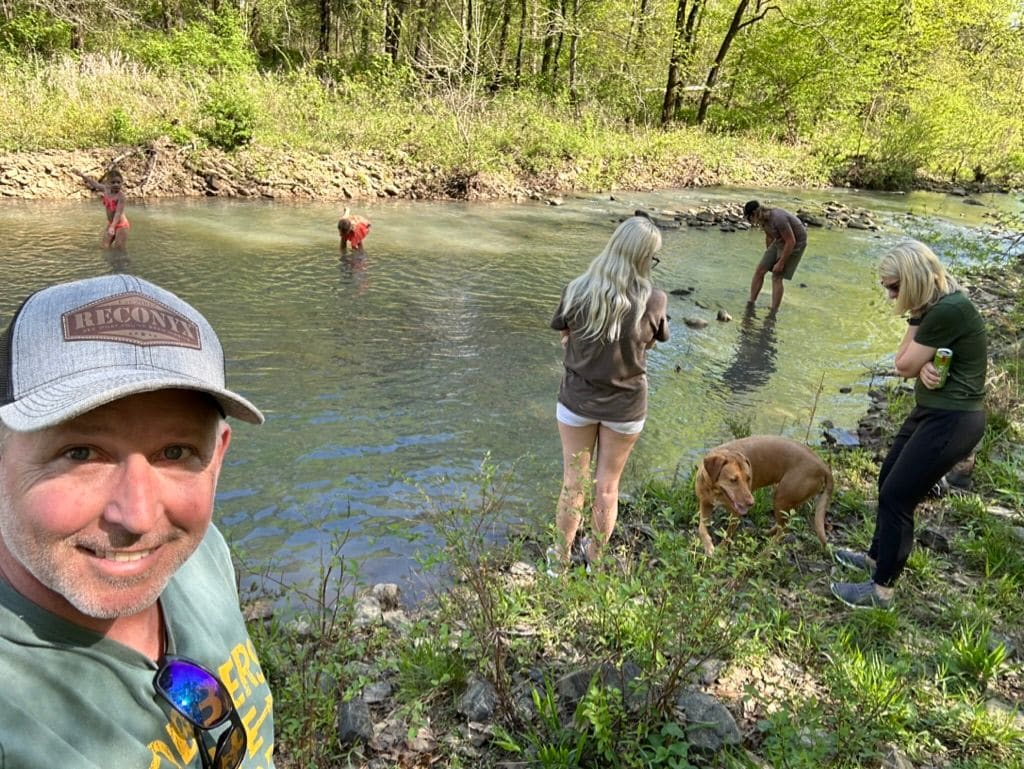
Launch spots: Holson Creek, the Poteau River and Fourche Maline Creek
ATVs, jon boats, canoes and kayaks can all put in at Holson Creek, the Poteau River and Fourche Maline Creek. Fill up with non-ethanol fuel at Ben's Country Corner on the way.
Lake Wister State Park
A lakeside state park on 7,300-acre Lake Wister with cabins, RV and tent camping, a swim beach, spray park, golf, a nature trail and a 6.4-mile hiking trail. Lighted boat ramps plus a gravel ramp; bald and golden eagles winter here.
13 mi from the ranch
Official siteWister Lake boat ramps (USACE)
The U.S. Army Corps of Engineers lake lists boat ramps at Conser Landing, Potts Mountain, Quarry Isle, Victor Landing and Wister Ridge; Quarry Isle and Wister Ridge also have courtesy and fishing docks. The state park and ODWC (two ramps on the Wister WMA) run additional ramps.
Quarry Isle 14 mi, Potts Mountain 11 mi
Official siteFishing
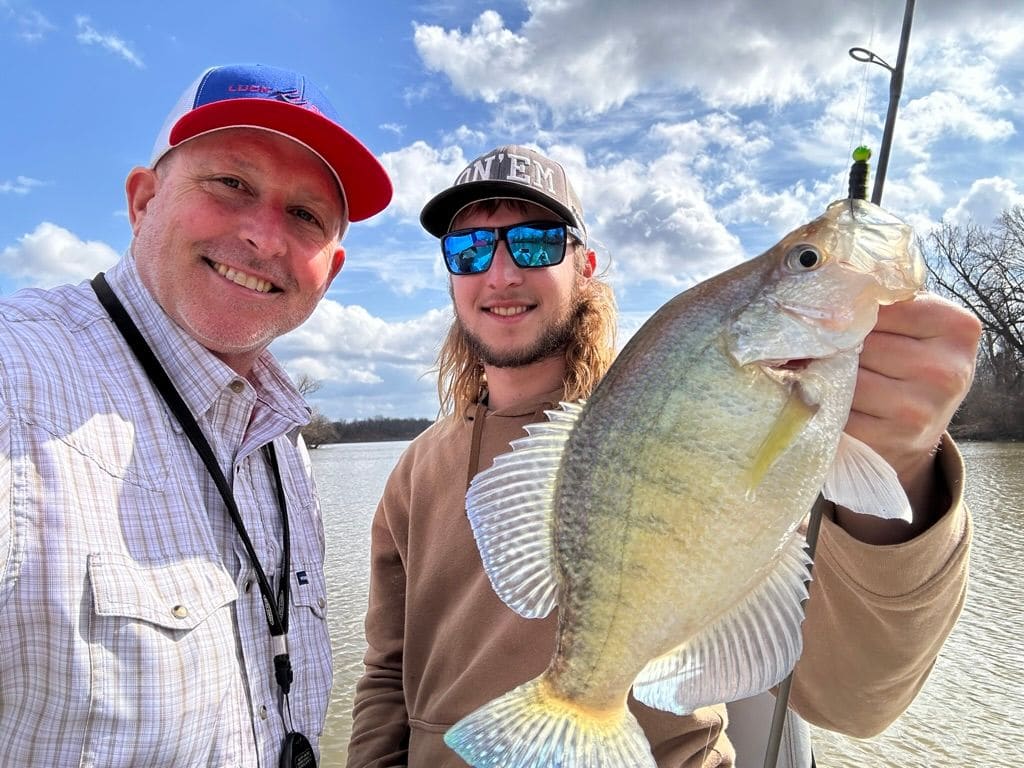
Lake Wister Fishing
Known for crappie, white bass, largemouth and smallmouth bass, and channel and flathead catfish. Crappie move shallow in spring and white bass run up the Poteau River and north-end creeks; fall crappie fishing around brush is good.
4.7 mi from the ranch
Official site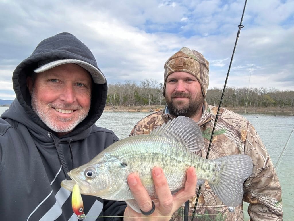
Sardis Lake
A Corps of Engineers lake 38 mi from the ranch, known for crappie.
38 mi from the ranch
Official siteScenic drives & parks
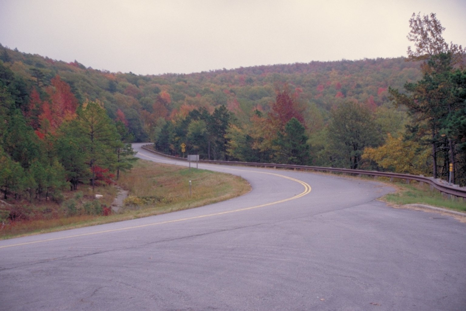
Talimena National Scenic Byway
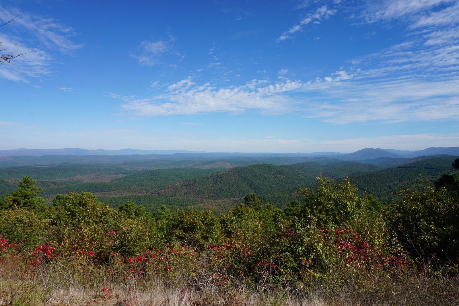
A 54-mile ridgetop drive along Winding Stair and Rich Mountains between Talihina, OK and Mena, AR, with dozens of vistas and spectacular fall color. Open year-round, no fee. The Talimena National Scenic Byway has its own visitor map.
15 mi from the ranch
Official siteTalimena mapFall on the Talimena Drive
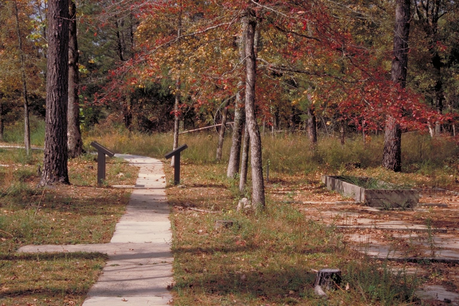
Talimena State Park
The Oklahoma gateway to the Talimena Drive, with camping, trailheads into the national forest and great spring and fall foliage. ATVs and dirt bikes can use it as an entry to forest land.
15 mi from the ranch
Official siteWinding Stair Mountain National Recreation Area
26,445 acres of the Ouachita National Forest that take in the Oklahoma stretch of the Talimena Drive, Winding Stair Campground, Horsethief Springs and Cedar Lake.
11 mi from the ranch
Official site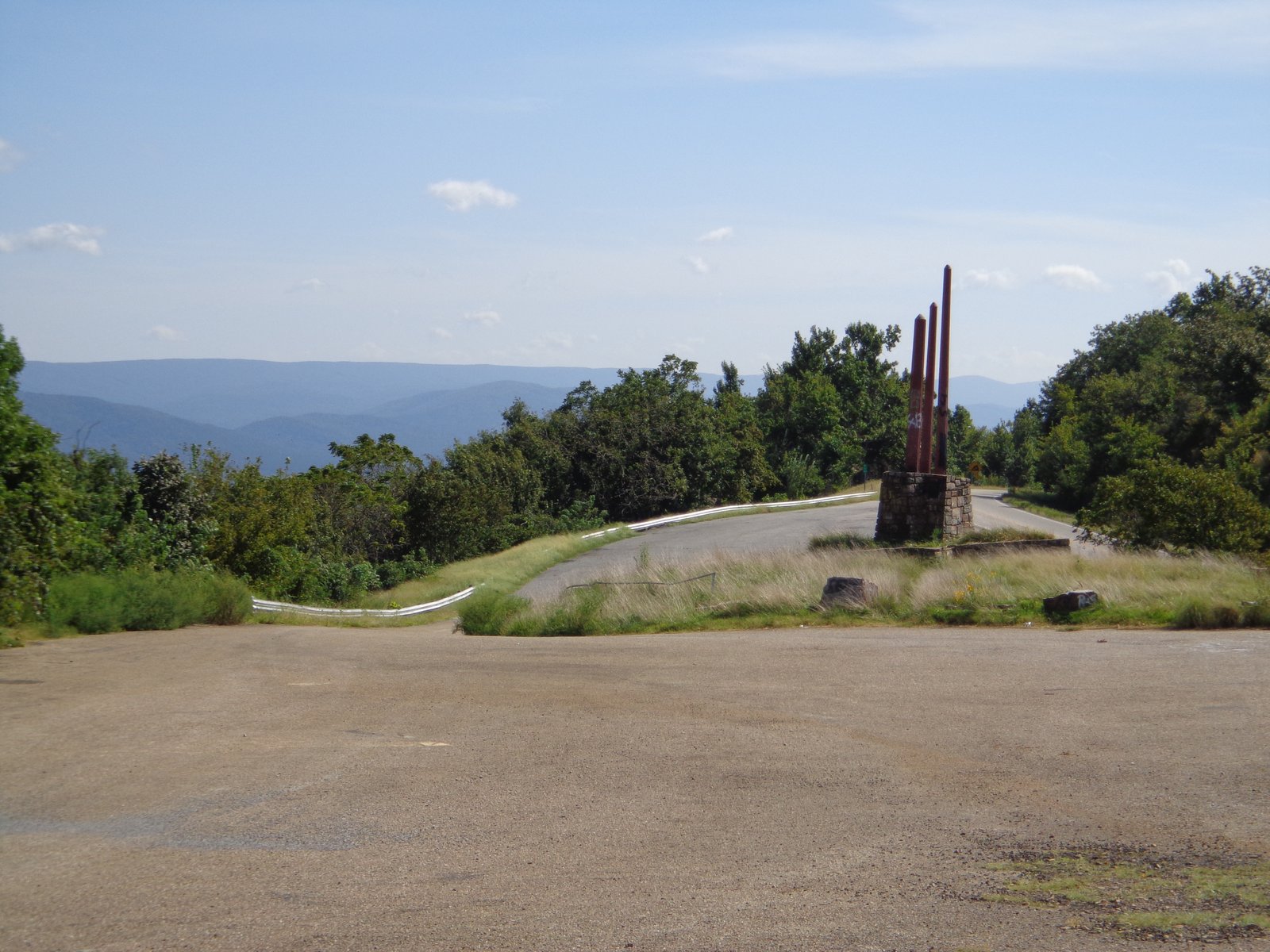
Three Sticks Monument ("Land, Wood, Water")
A roadside monument of three tall metal sticks on a stone base at the high pass over Kiamichi Mountain on US-259, in the Ouachita National Forest about 10 miles south of the Talimena Drive. Its formal name is Land, Wood, Water. It was dedicated Oct. 12, 1958, to honor Sen. Robert S. Kerr, Sen. Mike Monroney, Speaker Carl Albert, Gov. Raymond Gary and columnist R.G. Miller for developing southeast Oklahoma's roads, water, recreation and forests. There are wide views north over the forest, and the pull-off is free.
36 mi from the ranch
Official site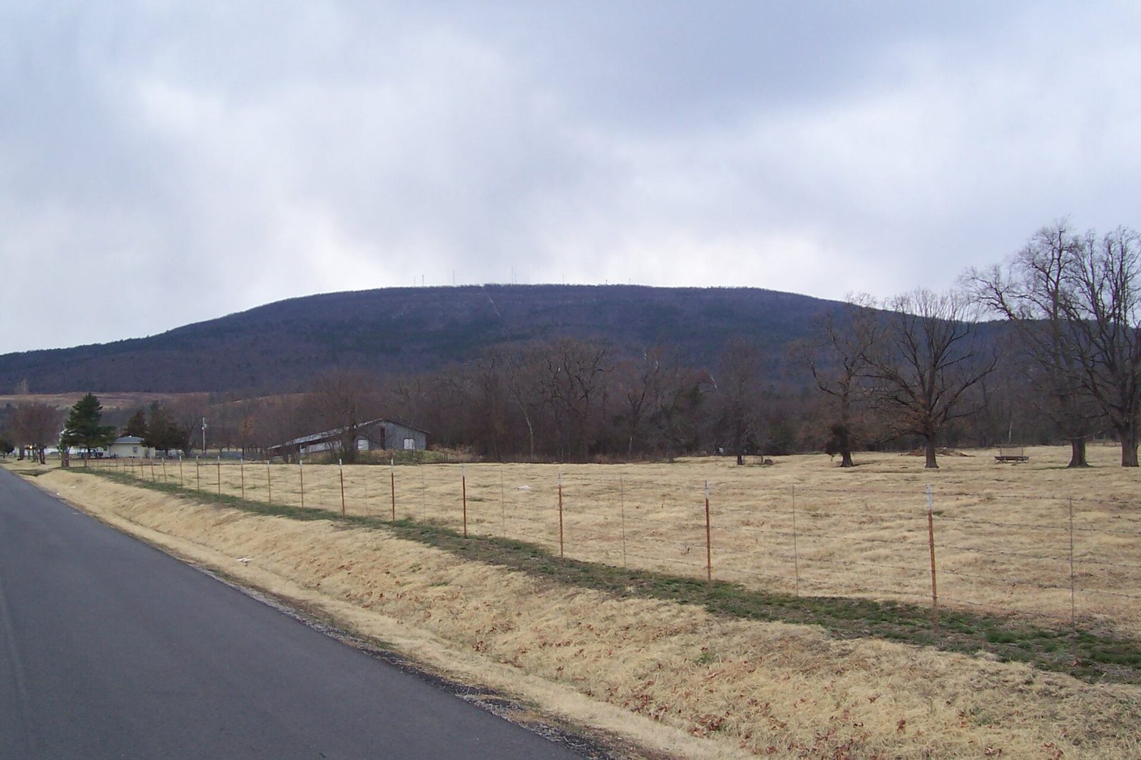
Cavanal Hill
Billed as the World's Highest Hill, with a 4.5-mile paved road to the summit, views over the Poteau River valley and a picnic pavilion. Free, daylight to dusk.
31 mi from the ranch
Official site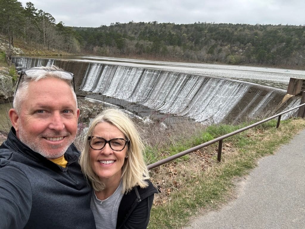
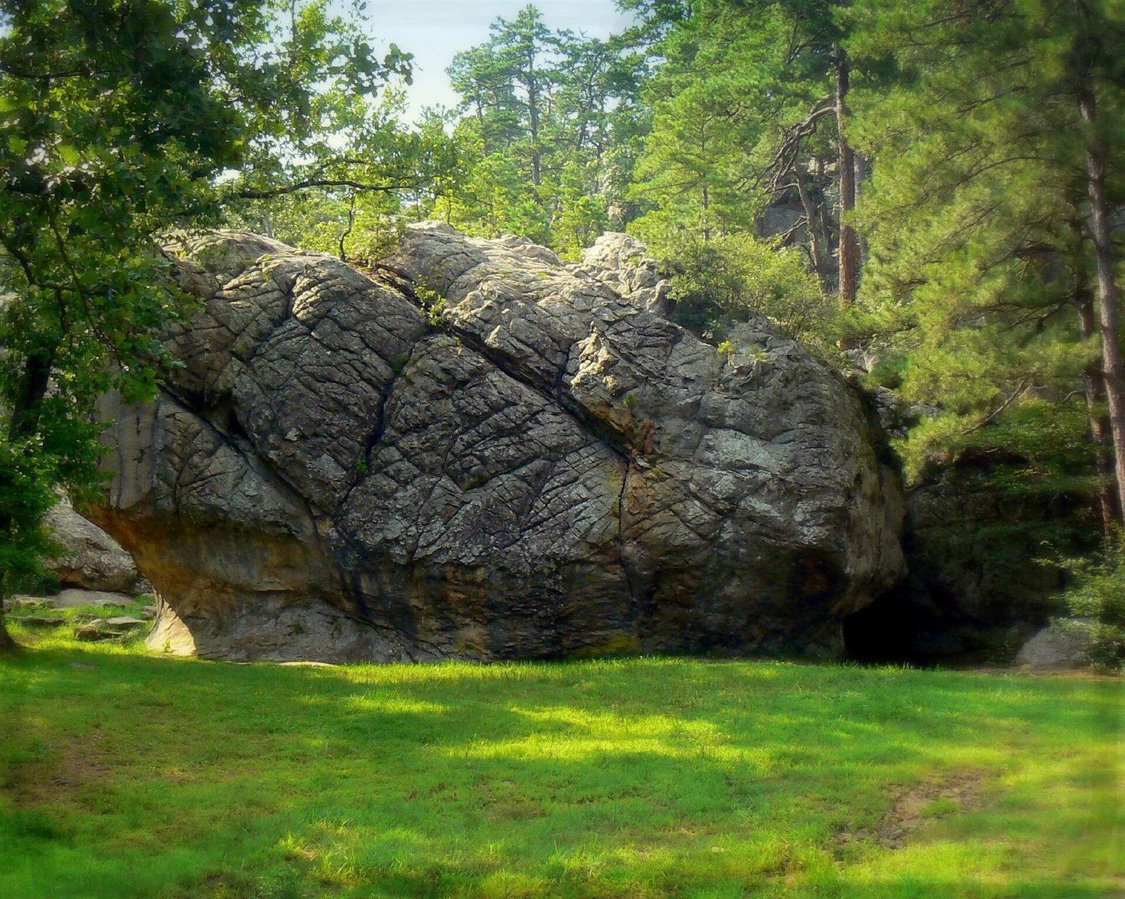
Robbers Cave State Park
Near Wilburton in the Sans Bois Mountains, where outlaws like Jesse James and Belle Starr once hid out; sandstone bluffs, hiking and equestrian trails, cabins, an ATV area, and seasonal canoe and paddleboat rentals on Lake Carlton.
41 mi from the ranch
Official siteHorsethief Springs Trail
A roughly 11-mile loop connecting Cedar Lake with the historic Horsethief Springs picnic ground on OK-1.
17 mi from the ranch
Official siteRobert S. Kerr Memorial Arboretum
Three easy interpretive nature trails just off the Talimena Drive. Free; open spring through fall.
28 mi from the ranch
Official siteBilly Creek Recreation Area
A free, quiet, primitive spot on a clear stream with small pools for sunfish. The 7.5-mile Billy Creek Trail climbs Winding Stair Mountain to the Ouachita National Recreation Trail. Vault toilets, no drinking water.
26 mi from the ranch
Official siteHistory
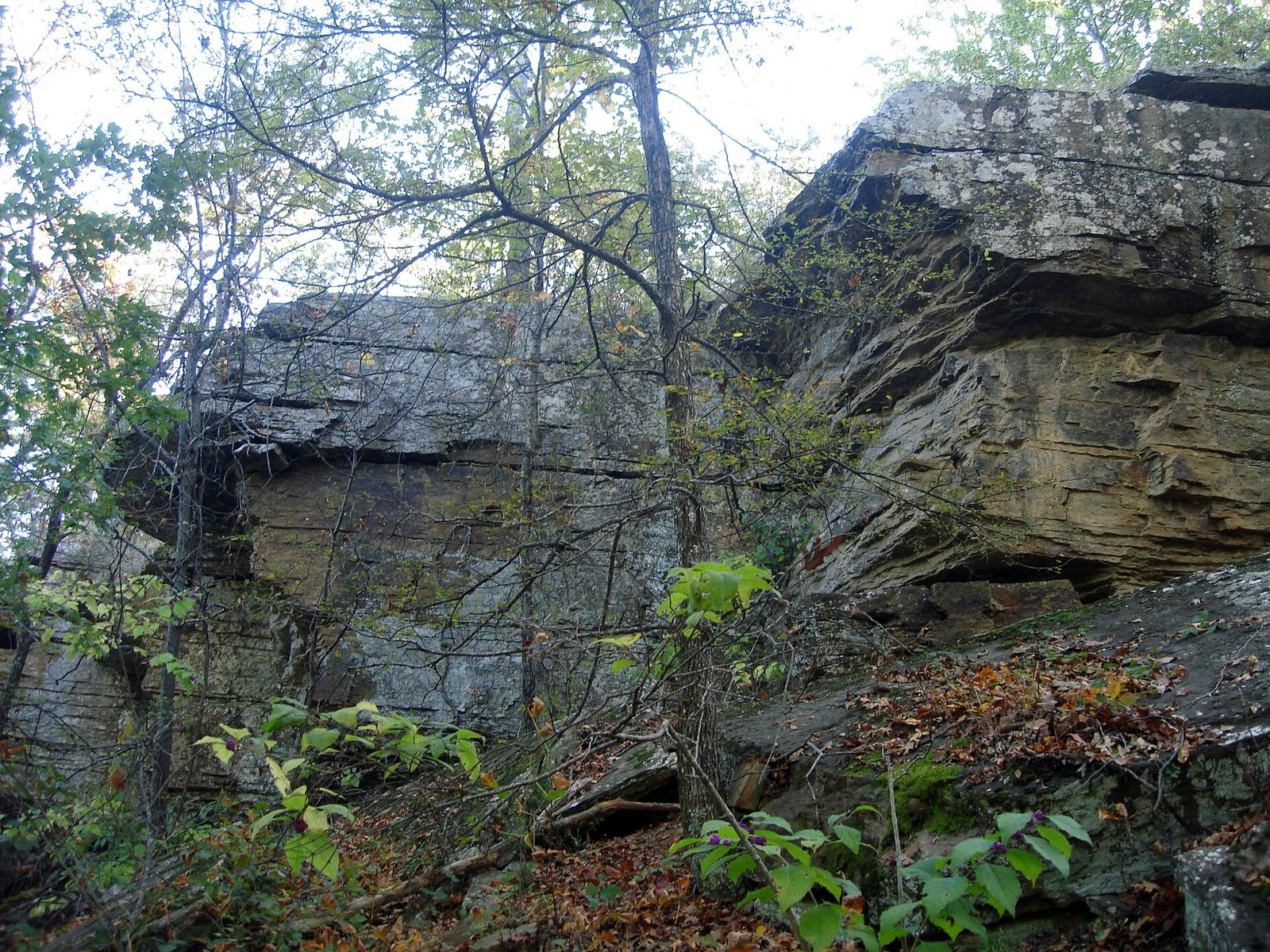
Heavener Runestone Park (Poteau Mountain)
A 55-acre park high on Poteau Mountain with a mysterious carved sandstone runestone, about 2 miles of trails and an overlook of Heavener and Lake Wister.
16 mi from the ranch
Official siteOuachita National Forest & ATV trails
Cedar Lake Recreation Area
An 86-acre lake in the Ouachita National Forest, 17 mi from the ranch. The Forest Service lists a 3-mile lakeside trail, a boat ramp (motors no larger than 7½ horsepower), fishing piers, swimming, and a 90-site campground. The equestrian loop is the start of the Winding Stair Mountain Equestrian Trails.
17 mi from the ranch
Official siteReserve a siteHorseback riding: Winding Stair Equestrian Trails
The trails begin at Cedar Lake Equestrian Camp. The Forest Service and Recreation.gov describe a marked system of over 70 miles of loops that climb mountains, follow creeks, and cross pine and hardwood forest. The trails have no fee and no water. See the Horse trails section for the camp, the other horse trails, and the official maps.
17 mi from the ranch
Official siteOuachita National Forest
The national forest boundary is about 1.6 mi from the ranch: roughly 220,000 acres for hiking, scenic drives, creeks, and lakes.
about 1.6 mi from the ranch
Official siteATV / OHV Trails (Ouachita NF, Oklahoma)
Designated off-highway routes in the Oklahoma district include Billy Creek Trail, Choctaw Nation Trail 101 (18.5 mi) and the motorcycle-only Boardstand/Military Road Trail. Always check the current Motor Vehicle Use Map before riding.
26 mi from the ranch
Official site
Kiamichi Lookout Tower (K-Trail)
A 1927 steel fire lookout tower on the Kiamichi Trail (the K-Trail), on Kiamichi Mountain west of Three Sticks Monument, with a pulloff. The road in is rough dirt, best by ATV, UTV, or four-wheel drive.
36 mi from the ranch
Dining

The Ranch Restaurant at Talimichi
Award-winning, scratch-made steaks and ranch-style fare along the Kiamichi River near Talihina. Open Thursday to Sunday; reservations recommended.
22 mi from the ranch
Official site
Robbers Cave State Park restaurant
By the lake at Robbers Cave State Park.
44 mi from the ranch
Official siteDay trips
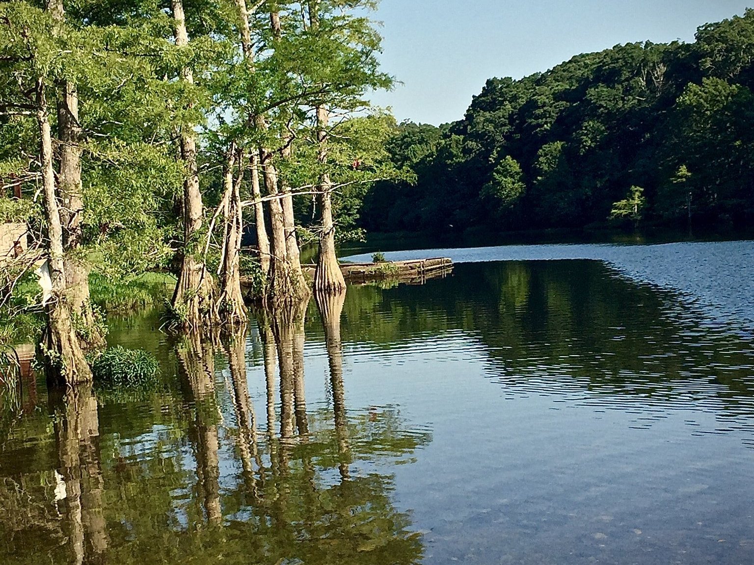
Beavers Bend State Park (Hochatown area)
Clear Mountain Fork River, Broken Bow Lake, and tall pines in the country that was Hochatown State Park until the parks merged in 2017.
80 mi from the ranch
Official siteMore public places
Miles are driving distance from the ranch. These are parks, forests, trails, and historic sites.
National forest & wilderness
- Ouachita National Forest, Oklahoma Ranger Districtabout 1.6 miClose to 1.8 million acres of public forest, the oldest national forest in the South, right at the ranch's doorstep.
- Winding Stair Campground21 miA ridge-top campground on the Talimena Drive, with the Ouachita Trail passing through it.
- Horsethief Springs Day Use Area21 miA historic stone-walled spring, once a hideout for outlaws, now a picnic stop on the Talimena Drive.
- Indian Nations National Scenic and Wildlife Area15 mi41,000 acres of wildlife habitat, including a 15-acre fishing lake on top of Post Mountain.
- Black Fork Mountain Wilderness25 miA steep, roadless ridge of rock glaciers and dwarf oak forest, with sweeping overlooks.
- Upper Kiamichi River Wilderness28 miThe rugged headwaters of the Kiamichi River, with no roads and true backcountry solitude.
Trails
- Ouachita National Recreation Trail15 miThe region's long trail. Its western end is at Talimena State Park, and it runs 223 miles to Little Rock.
- Black Fork Mountain Trail25 miThe route along Black Fork Mountain's rock-strewn ridge in the wilderness.
- Earthquake Ridge Trail53 miA ridge loop at the Arkansas end of the Talimena Drive, with views over Mena.
State parks
- Queen Wilhelmina State Park40 miSits atop Rich Mountain on the Talimena Drive, with the nearby Rich Mountain fire tower.
- Clayton Lake State Park51 miA small, quiet mountain lake in the Kiamichi country, good for fishing and paddling.
Lakes & rivers
- Broken Bow Lake80 mi22 miles of deep, clear water winding into forested mountains.
- Kiamichi River22 miA scenic Ouachita river from its wilderness headwaters past Tuskahoma and Clayton.
- Lower Mountain Fork River Trout Area84 miA 12-mile, year-round trout stream below Broken Bow dam, including Presbyterian Falls.
- Glover River100 miOklahoma's last major undammed river: remote, clear, and with no outfitters.
Historic sites
- Spiro Mounds Archaeological Center49 miThe only prehistoric American Indian mound site in Oklahoma open to the public, with about 2 miles of trails.
- JFK Memorial at Big Cedar31 miMarks the spot where President Kennedy dedicated US-259 on October 29, 1961.
- Fort Smith National Historic Site55 miFrontier fort, Judge Parker's courtroom, and the Trail of Tears overlook on the Arkansas River.
- Tvshkahomma Capitol Museum42 miThe 1884 Choctaw Nation capitol, with Code Talkers exhibits. Open Monday to Friday, 8 to 4.
- Forest Heritage Center Museum85 miForestry dioramas and history inside Beavers Bend State Park.
Wildlife areas
- Wister Wildlife Management AreaBottomland and lake-edge habitat around Wister Lake for birding, waterfowl, and deer.
- Ouachita Wildlife Management Areaabout 1.6 miPublic hunting and wildlife-viewing tracts on the Ouachita National Forest in LeFlore and McCurtain counties.
- Sequoyah National Wildlife Refuge66 miWintering snow geese and bald eagles where the Canadian and Arkansas rivers meet.
- Sardis Lake Wildlife Management Area38 miPublic land around Sardis Lake for wildlife viewing and hunting.
- Honobia Creek Wildlife Management Area44 miA large public-access timberland in the Kiamichi Mountains.
- Pushmataha Wildlife Management Area52 miPublic land near Clayton, known for long-running research on prescribed fire and wildlife.
- Three Rivers Wildlife Management AreaAccess to the Glover and Mountain Fork river country.
- McCurtain County Wilderness Area72 miOld-growth shortleaf pine. Visitors are limited to the self-guided nature trail and the west-side access.
Forest maps
- Forest Service mapsThe Interactive Visitor Map, the free Oklahoma Motor Vehicle Use Map, and printed forest maps.
- Interactive visitor mapRoads, campgrounds, and trails you can zoom and save.
- Oklahoma MVUMThe motor vehicle use map for where a car or ATV may go.